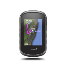
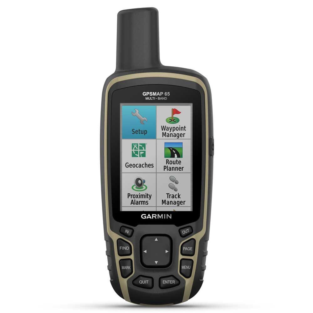
GARMIN GPSMAP 65 GPS
Бестселлер
- Артикул:
- 107972202


245 921 AMD
Характеристики
Дизайн
- Цвет
- Черный
Прочие свойства
- Бренд
- Garmin
Описание
Explore more with this rugged handheld that offers optimal tracking accuracy, a 2.6-inch colour display and preloaded maps.
- Don’t miss a detail with this large, sunlight-readable colour display.
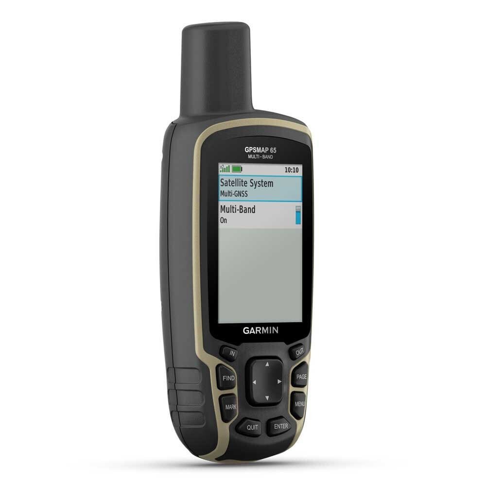
- Lead the way in challenging locations with multi-band technology and expanded GNSS satellite support.
- Cross the countryside with routable TopoActive Europe maps.
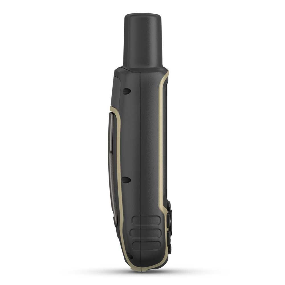
- Venture confidently. This rugged handheld is built for tough environments.
- Organise your adventure from anywhere with the Garmin Explore™ website and app1.
- Travel with up to 16 hours of battery life in GPS mode.
Expanded Gnss Support:
- Multi-band technology and expanded GNSS support (GPS, GLONASS, Galileo, QZSS and IRNSS) provide optimal accuracy in steep country, urban canyons and forests with dense trees.
Preloaded Topoactive Europe Maps:
- Preloaded TopoActive Europe maps provide detailed views of routable street and off-road networks, waterways, natural features, land use areas, buildings and more.
Smart Notifications:
- Receive emails, texts and alerts right on your handheld when paired with your compatible device.
Garmin Explore App:
- Plan, review and sync waypoints, routes and tracks by using the Garmin Explore app1 and website. You can even review completed activities while still in the field.
Microsd™ Slot:
- Using your compatible device and microSD memory card, conveniently download TOPO 24K maps and hit the trail.
Geocaching:
- Get automatic cache updates from Geocaching Live, including descriptions, logs and hints.
Specifications:
General:
- Physical Dimensions: 6.1 X 16.0 X 3.6 Cm
- Display Size: 3.6 X 5.5 Cm; 2.6-Inch Diagonal (6.6 Cm)
- Display Resolution: 160 X 240 Pixels
- Display Type: Transflective, 65k Colour Tft
- Weight: 217 G With Batteries
- Battery Type: 2 Aa Batteries (Not Included); Nimh Or Lithium Recommended
- Battery Life: 16 Hours
- Water Rating: Ipx7
- High-Sensitivity Receiver:
- Interface: High-Speed Mini Usb And Nmea 0183 Compatible
- Memory/History: 16 Gb (User Space Varies Based On Included Mapping)
Maps & Memory:
- Preloaded Maps: Yes (Topoactive Europe; Routable)
- Ability To Add Maps:
- Basemap:
- Automatic Routing (Turn By Turn Routing On Roads):
- Map Segments: 3,000
- Birdseye: 250 Birdseye Imagery Files
- Includes Detailed Hydrographic Features (Coastlines, Lake/River Shorelines, Wetlands And Perennial And Seasonal Streams):
- Includes Searchable Points Of Interests (Parks, Campgrounds, Scenic Lookouts And Picnic Sites):
- Displays National, State And Local Parks, Forests, And Wilderness Areas:
- Storage And Power Capacity: Yes (32 Gb Max Microsd™ Card)
- Waypoints/Favourites/Locations: 5,000
- Tracks: 200
- Track Log: 10,000 Points, 200 Saved Tracks
- Routes: 200, 250 Points Per Route; 50 Points Auto Routing
Sensors:
- Gps:
- Glonass:
- Galileo:
- Gps Compass (While Moving):
Daily Smart Features:
- Virb® Camera Remote:
- Compatible With Garmin Connect™ Mobile:
- Smart Notifications On Handheld:
- Outdoor Recreation Features
- Point-To-Point Navigation:
- Compatible With Basecamp™:
- Area Calculation:
- Hunt/Fish Calendar:
- Sun And Moon Information:
- Geocaching-Friendly: Yes (Paperless)
- Custom Maps Compatible: Yes (500 Custom Map Tiles)
- Picture Viewer:
Outdoor Applications:
- Compatible With Garmin Explore™ App:
- Garmin Explore Website Compatible:
Connections:
- Wireless Connectivity: Yes - Bluetooth®, Ant+®