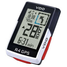
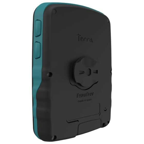
TWONAV GPS Terra cycling computer
- Артикул:
- 129091531


Характеристики
Дизайн
- Цвет
- Синий
Прочие свойства
- Бренд
- TwoNav
Описание
Terra - Feel the thrill of exploring without limits. The outdoor navigator for adventure lovers who want to feel the thrill of exploring safely and without limits for all kinds of activities.
------
Physical characteristics
Dimensions 80 x 115 x 19 mm / Blanview screen / Resolution 480 x 640 pixels (3.7’’) / Weight 198 gr / Buttons 3 front + 4 sides / QuickLock fixation / Internal memory 32 GB (free: 28 GB)
Power supply
Light sensor / 2600 mAh battery electric charge / Standard autonomy 15 h / Integrated battery type / USB-C communication port
Tools
GPS / Galileo / Glonass / BeiDou / SBAS-EGNOS / Bluetooth dual / Wi-Fi 5G / Speaker / Barometer / Digital Compass / Accelerometer
Includes
Topographic of the chosen country, subscription to outdoor route planner (Land software), Navigation App (TwoNav App), emergency service and live location (SeeMe), storage space in virtual cloud (Cloud GO), accessories for the GPS...
------
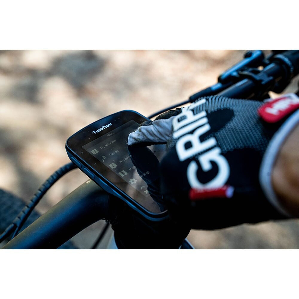
A security plus for you. Perfect vision even in sunlight
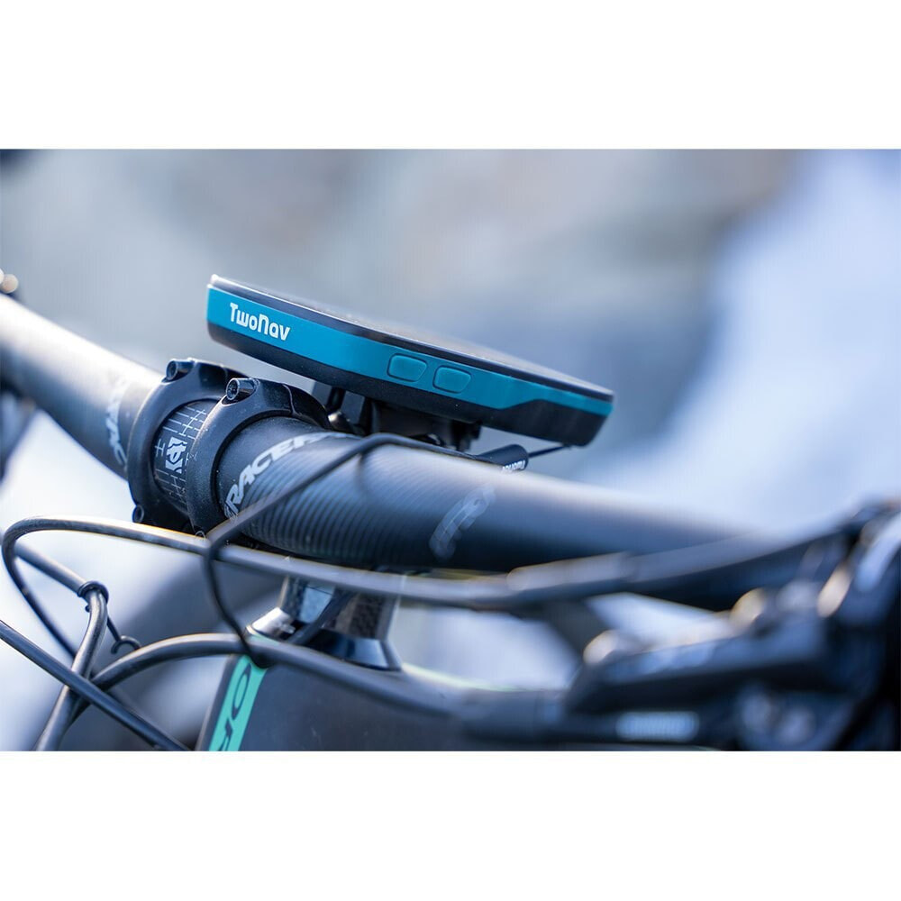
With its large screen you will see beyond your current position, anticipate what lies ahead without straining your eyes, explore everything around you with the certainty of not getting lost in unknown terrain. Terra is a very light and portable GPS that you can use comfortably in one hand during your hiking routes or fix it on your bike, always carry it with you and use it on unknown terrain or unmarked paths. With its 4 side buttons you will have total control even with gloves on rainy days.
Prepared to withstand your adventures
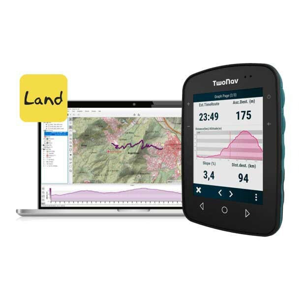
Terra is your ally in the mountains, with it you can load countless routes and even create them yourself point to point directly on the GPS screen. If a route does not convince you, adapt it to you by modifying its layout, create forks and variants. Remember to take with you several maps of the area you are going to visit, with Terra you will work with several maps at the same time, so you will obtain greater detail of all the unmarked paths and shortcuts. Move around the map and you will find other points of interest close to your position, take the opportunity to visit them.
Precision and reliability in your outings
Terra works with 4 positioning networks with global coverage (GPS + Galileo + Glonass + BeiDou). Terra will follow you at all times and detect a satellite signal wherever you are. Unlike a smartphone, Terra is much more powerful as its recording accuracy is more detailed.
SeeMe: The security you were looking for
TwoNav´s exclusive service with which you can retransmit your exact position in real time to monitor your routes, maintain your safety and guarantee peace of mind to your family members.
Maps included, trust them
Terra includes cartography of your country so you can get the most out of your outings: an OpenStreetMap basemap and a highly accurate topographic map (IGN, TomTom, OSM, Ordnance Survey, SwissTopo, Alpina, Fraternali, Freytag & Berndt...). Find shortcuts and points of interest, use the maps to know the relief of the terrain you are going to step on. Do you want to use your own maps? You have 32 GB of memory to load more maps.
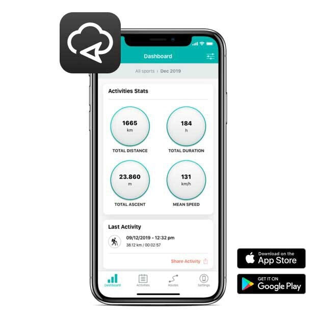
GO, Strava, Komoot, TrainingPeaks, Google Drive, Dropbox...
After an outing, upload your activity automatically to the GO Cloud. Manage your utworów from the GO Cloud and analyze your activity history from anywhere in the world. Share your best routes with other fans on Strava, Komoot, TrainingPeaks, Google Drive, Dropbox...